A spacious family chalet in Piesendorf near Zell am See, slopes, mountains, lifts and village life on the doorstep, and the whole valley to come home to after the last run.
A spacious family chalet in Piesendorf near Zell am See, slopes, mountains, lifts and village life on the doorstep, and the whole valley to come home to after the last run.

Skiing somewhere else this trip? The Zell am See–Kaprun area has eight other ski resorts besides Weißsee Gletscherwelt.
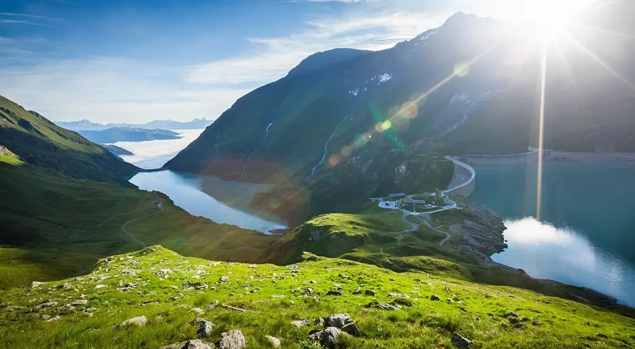
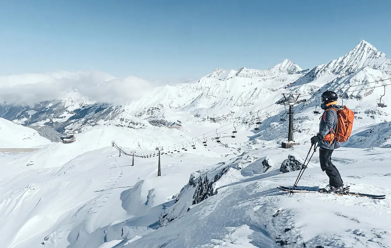
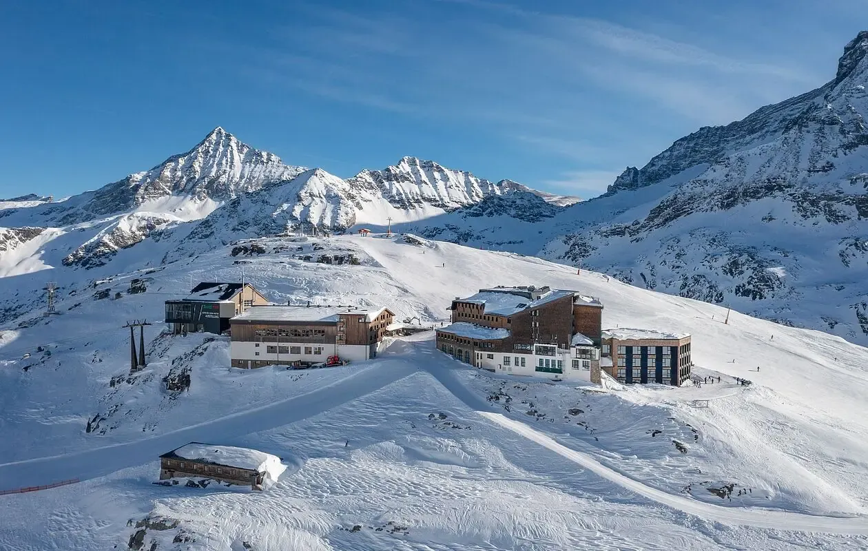
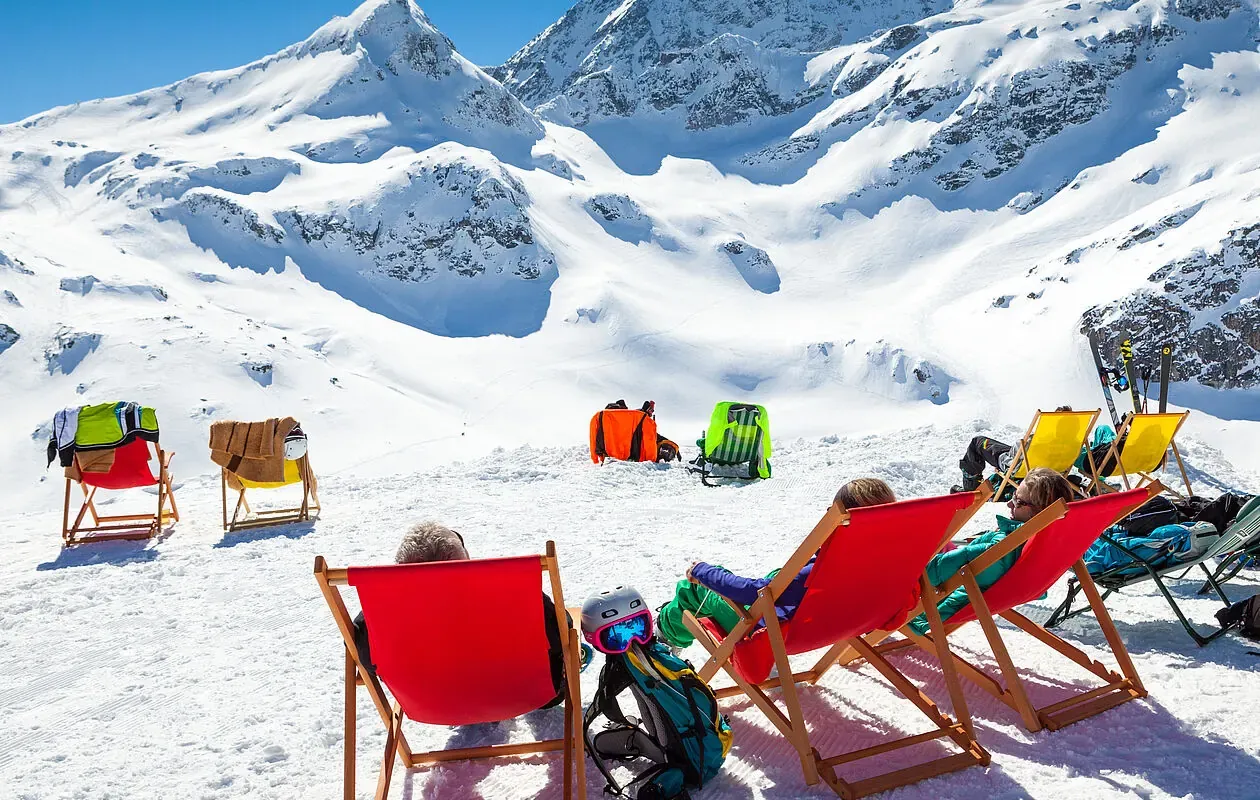
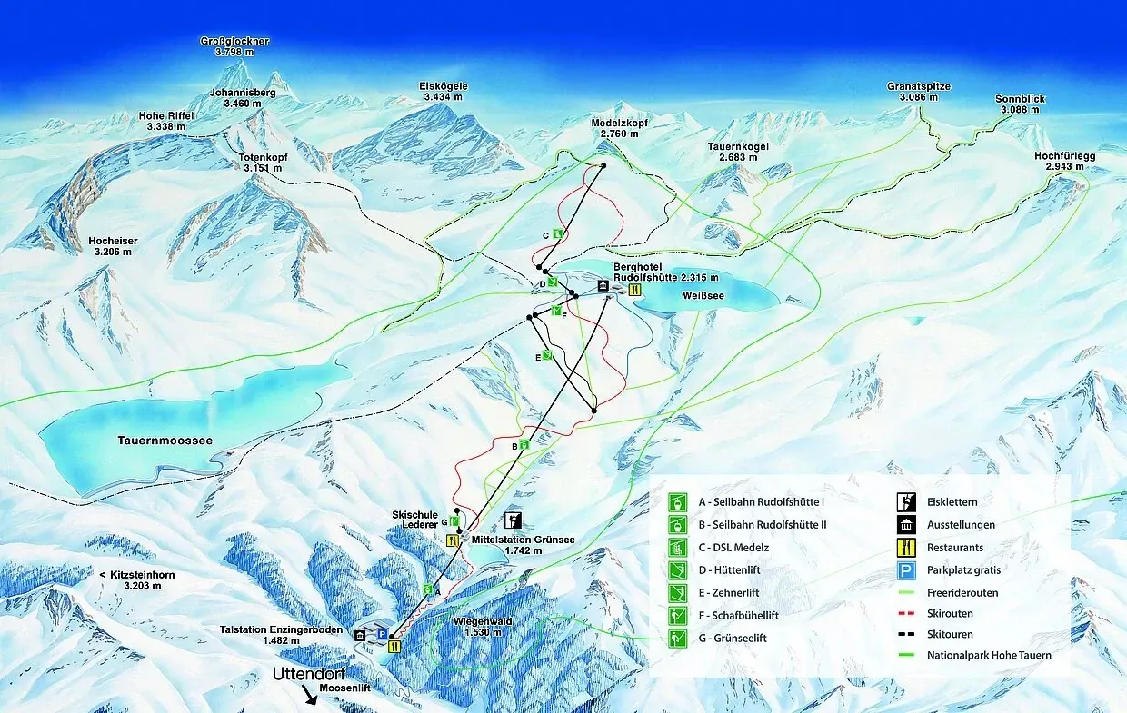
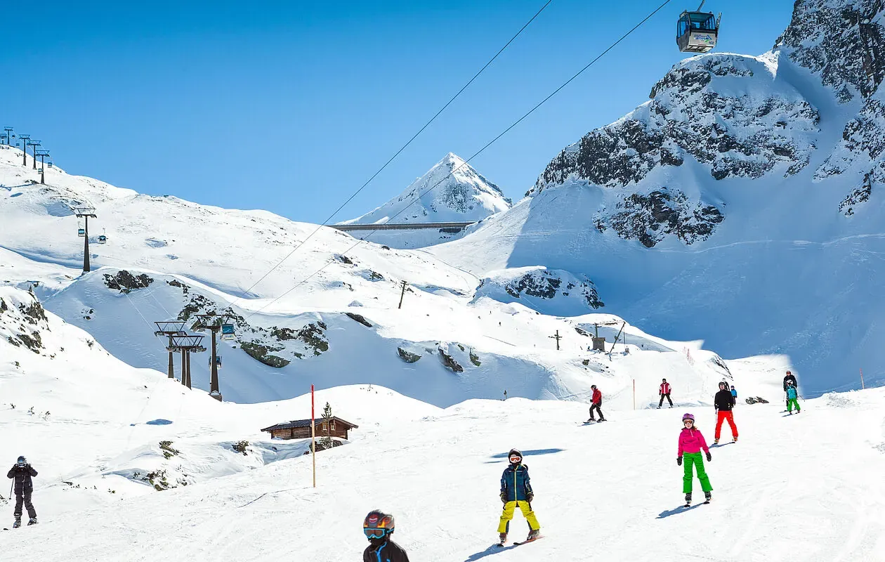
The Weißsee Gletscherwelt above Uttendorf is high, small and genuinely remote — a glacier area reached by a single cable car, with snow long after the lower resorts have given up. Come for the setting and the quiet rather than for kilometres of piste.



Loading piste map…
Ten beds in Piesendorf, at the mouth of the Stubach valley.
Not sure where to grab a lift pass or rent skis before your first day on the mountain? We've mapped out the closest, most convenient stops — ski rental shops, pass counters and other essentials — so you're not scrambling on the morning of. Tap a pin for opening hours, directions and what to expect at each stop.
About 26 km, but allow the better part of an hour — roughly 49 minutes. The route runs to Uttendorf and then up the Stubachtal, a slow valley road that ends at the Enzingerboden valley station.
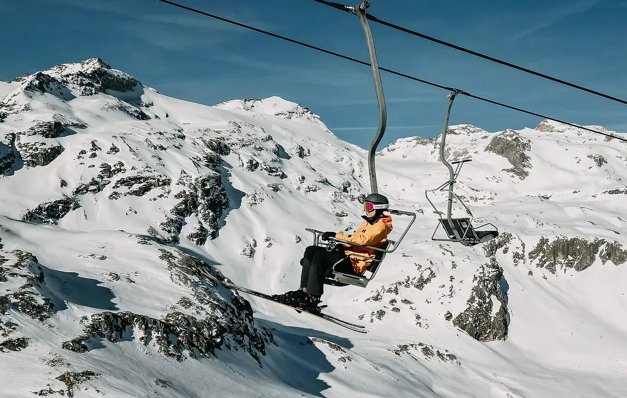
A compact, high area: 23 marked runs totalling about 12 km, between 1,483 m and 2,555 m, served by nine lifts. Roughly 9 km is graded intermediate and under 3 km easy, with no advanced pistes mapped.
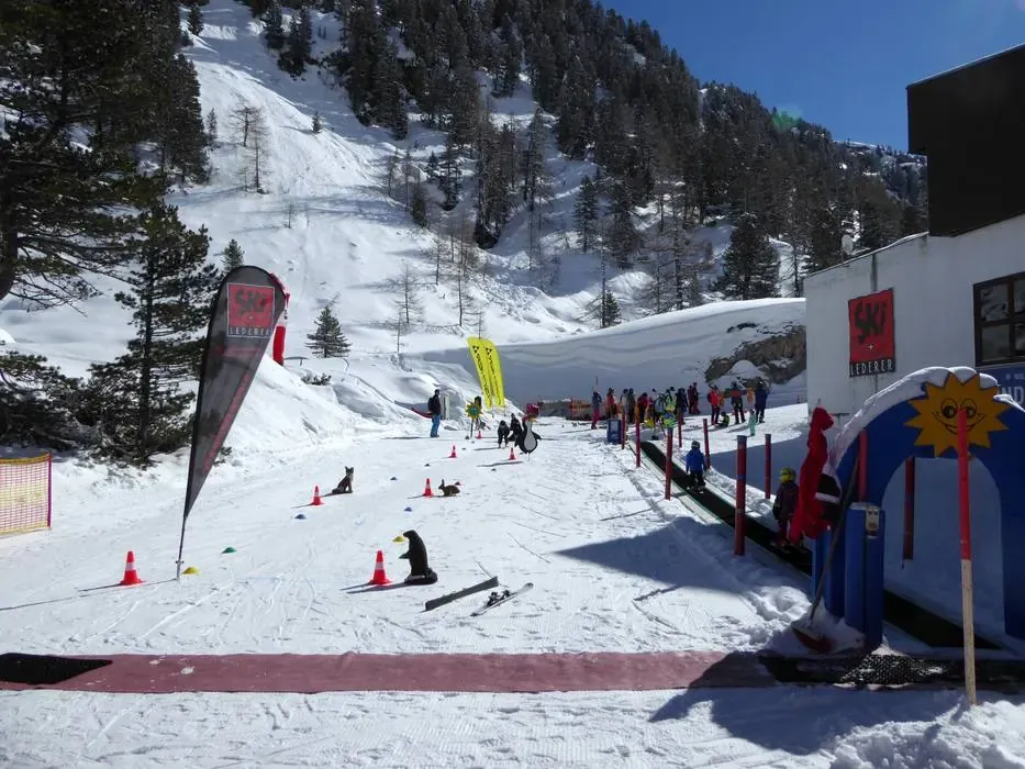
Not especially. Only one novice run and about 2.6 km graded easy are mapped, and most of the terrain is intermediate. Its appeal is snow reliability and quiet rather than gentle learning slopes.
Options in the Stubach valley itself are thin — the nearest shops on the map above are down towards Kaprun. Renting before you drive up is the safer plan.